….
.
.
.
.
.
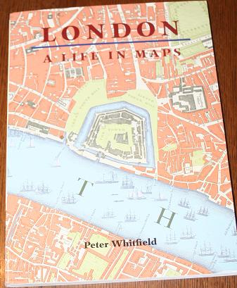
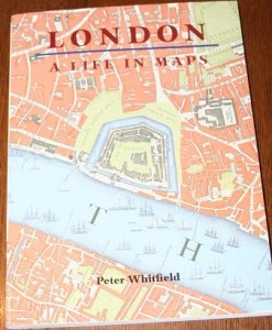
London: A Life in Maps is a beautiful A4-sized paperback containing approximately 200 important maps from the mid-sixteenth century to the present day.
The book is divided into four sections:
- London Before the Great Fire
- The Age of Elegance
- The Victorian Metropolis
- The Shock of the New
Each of these contains about 50 pages of maps, illustrations and photographs to show how London has changed over the ages.
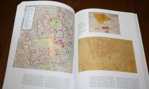
As an example, here is a map highlighted to show the principle aristocratic estates present in London’s West End in the 18th and early 19th centuries:
 The maps on the right-hand-side of the page show Mayfair in 1664 and 1790. All these images are accompanied by a text that details the key changes and the reasons behind them.
Anyone interested in seeing how London has changed and developed will be fascinated by this book containing old maps of London.

